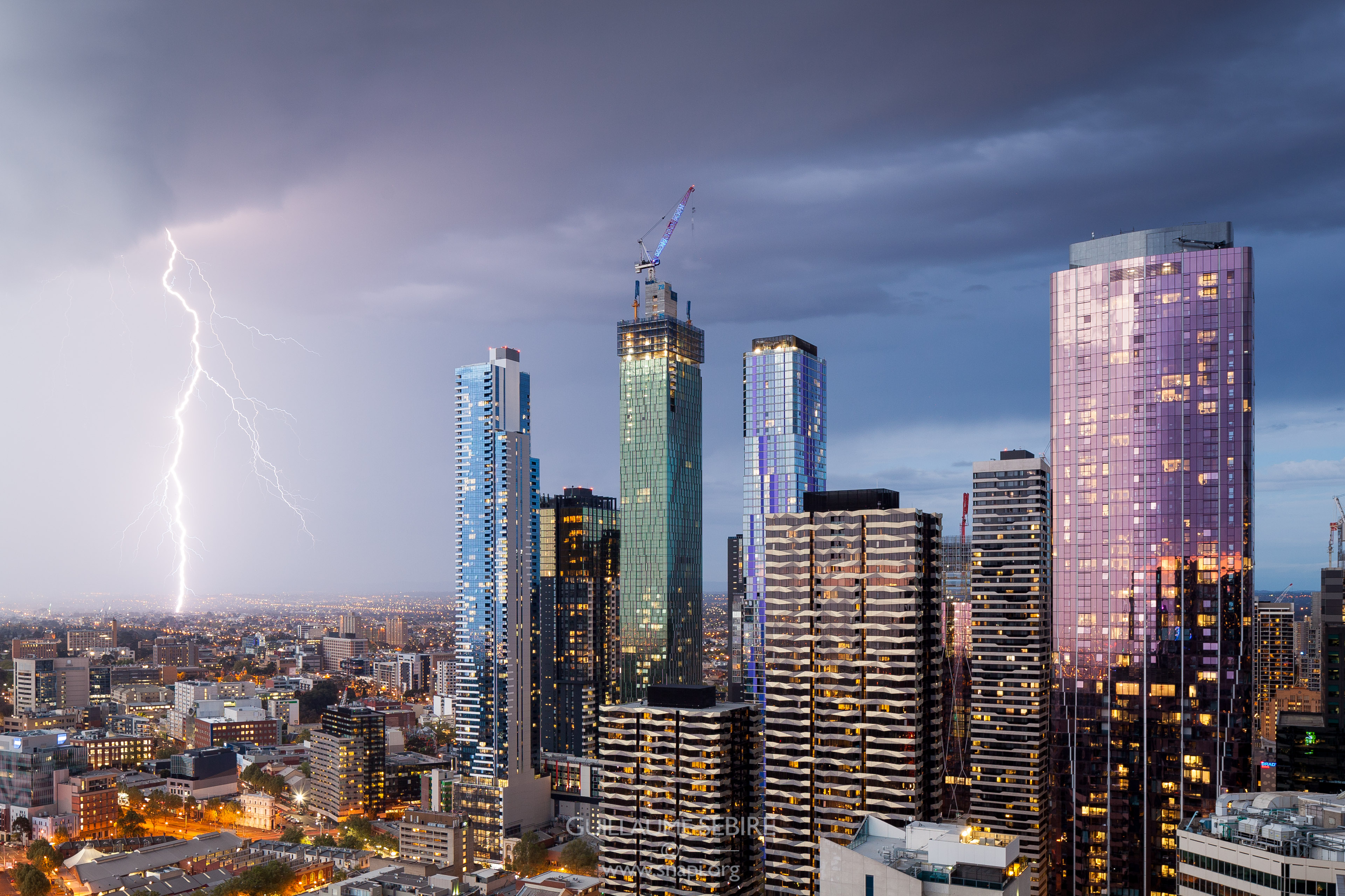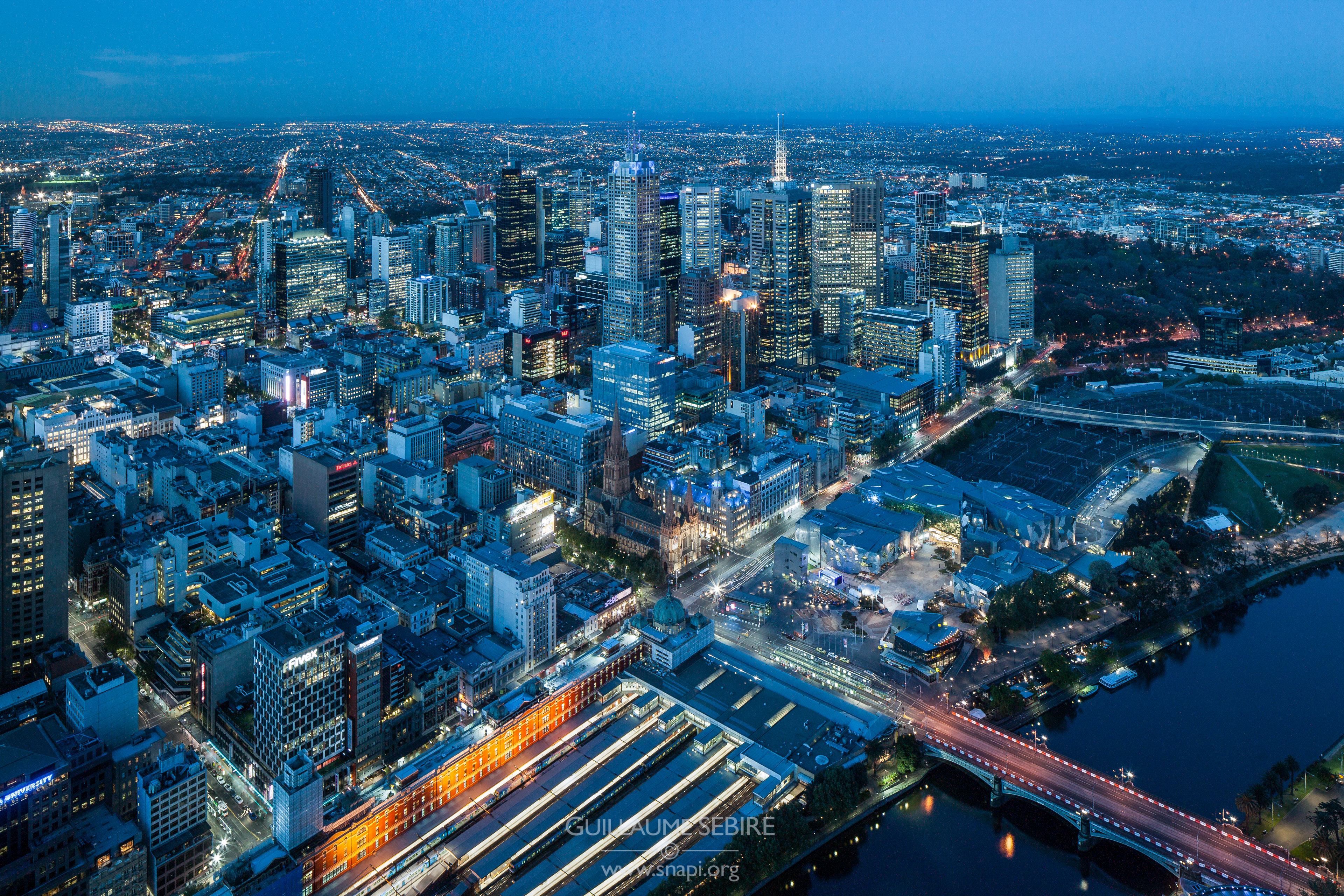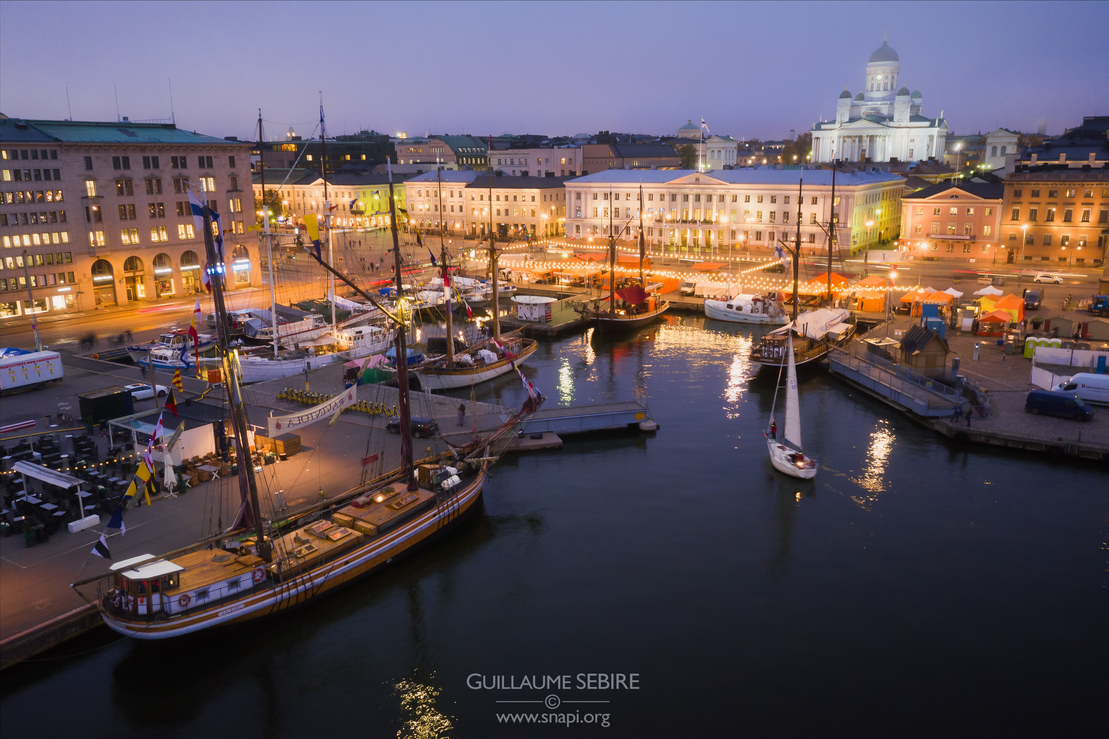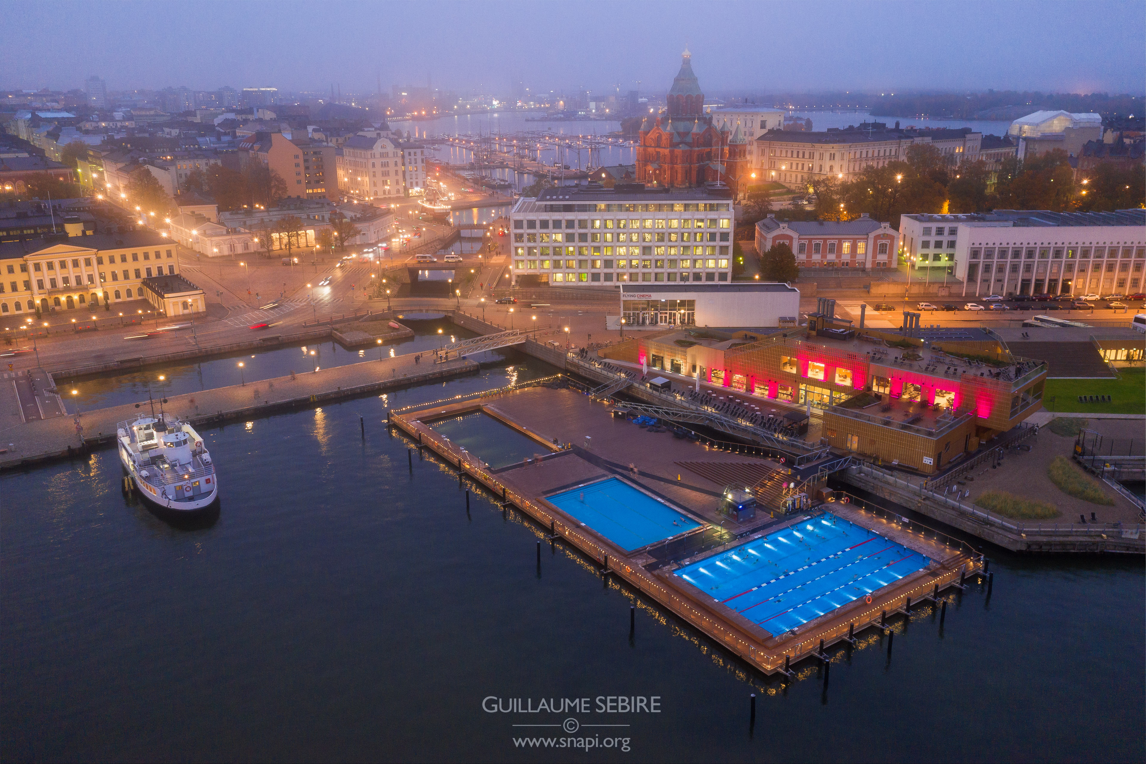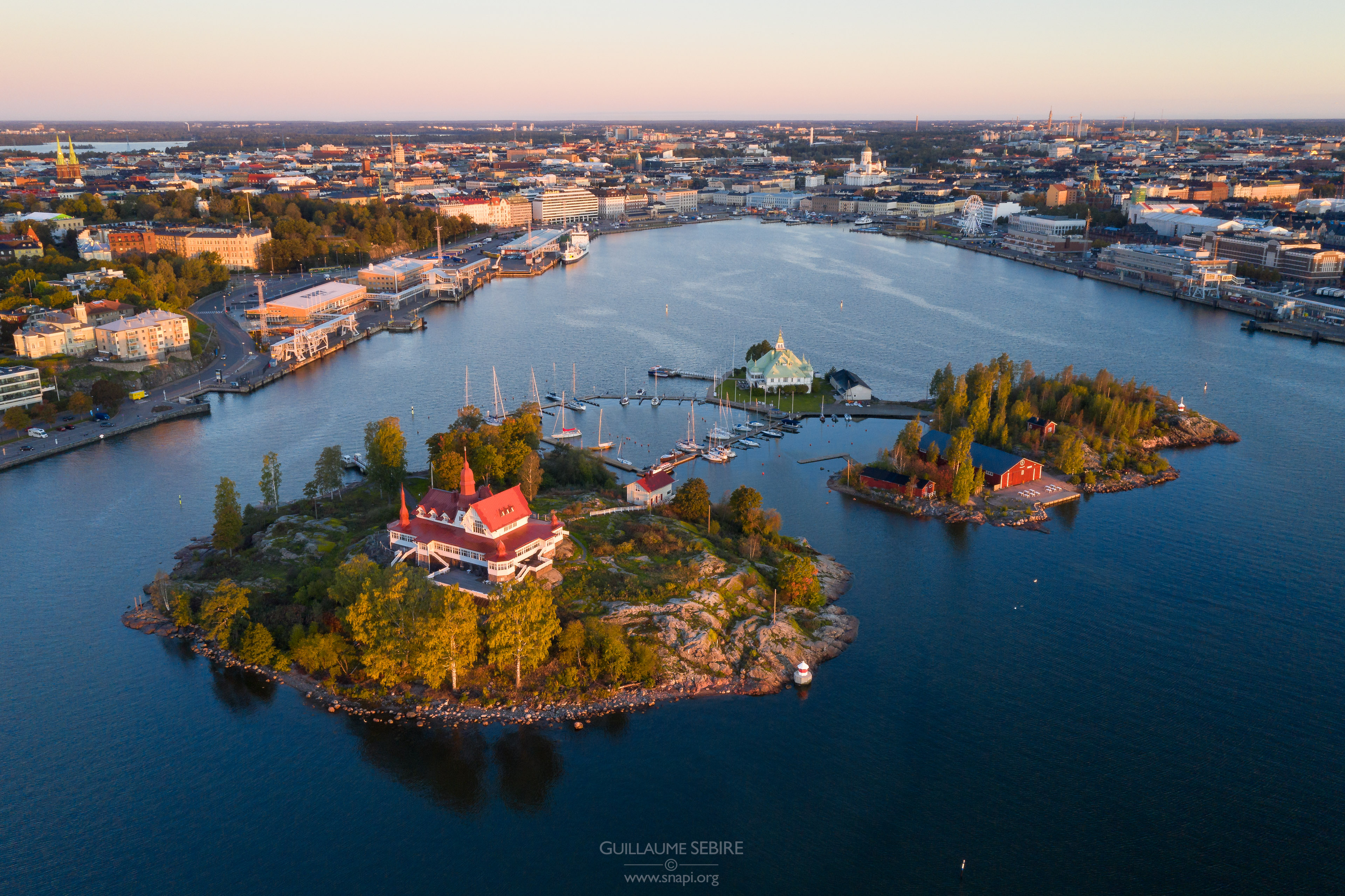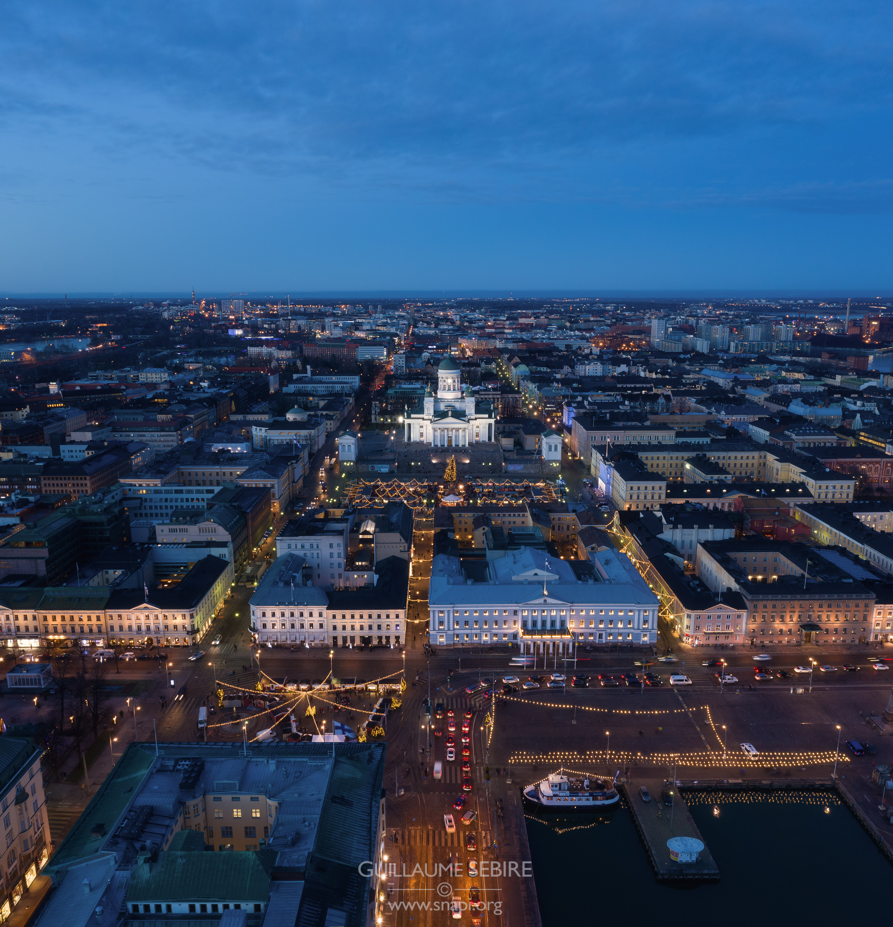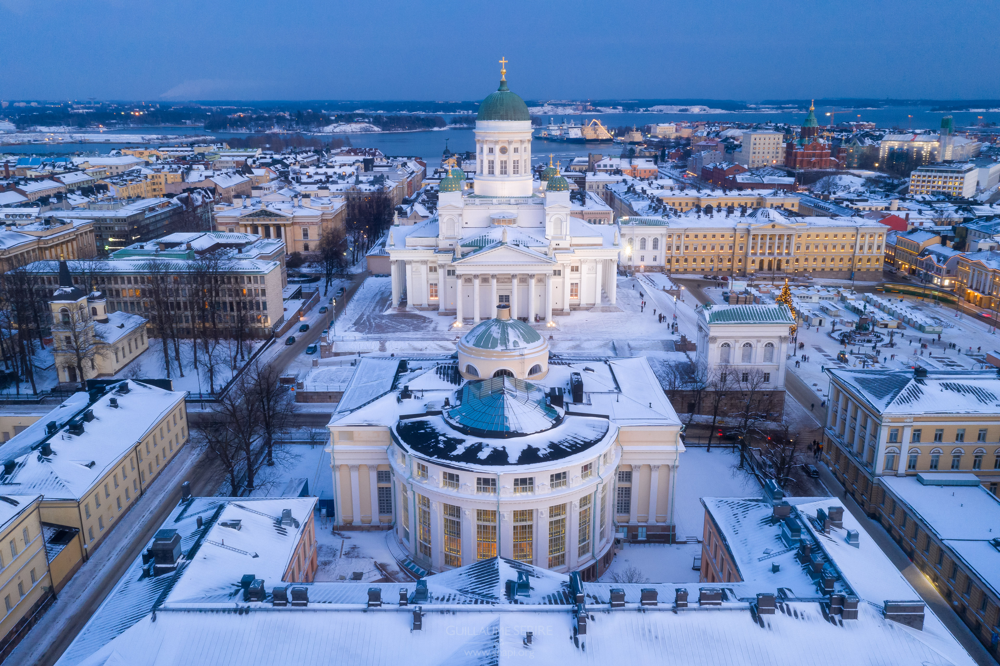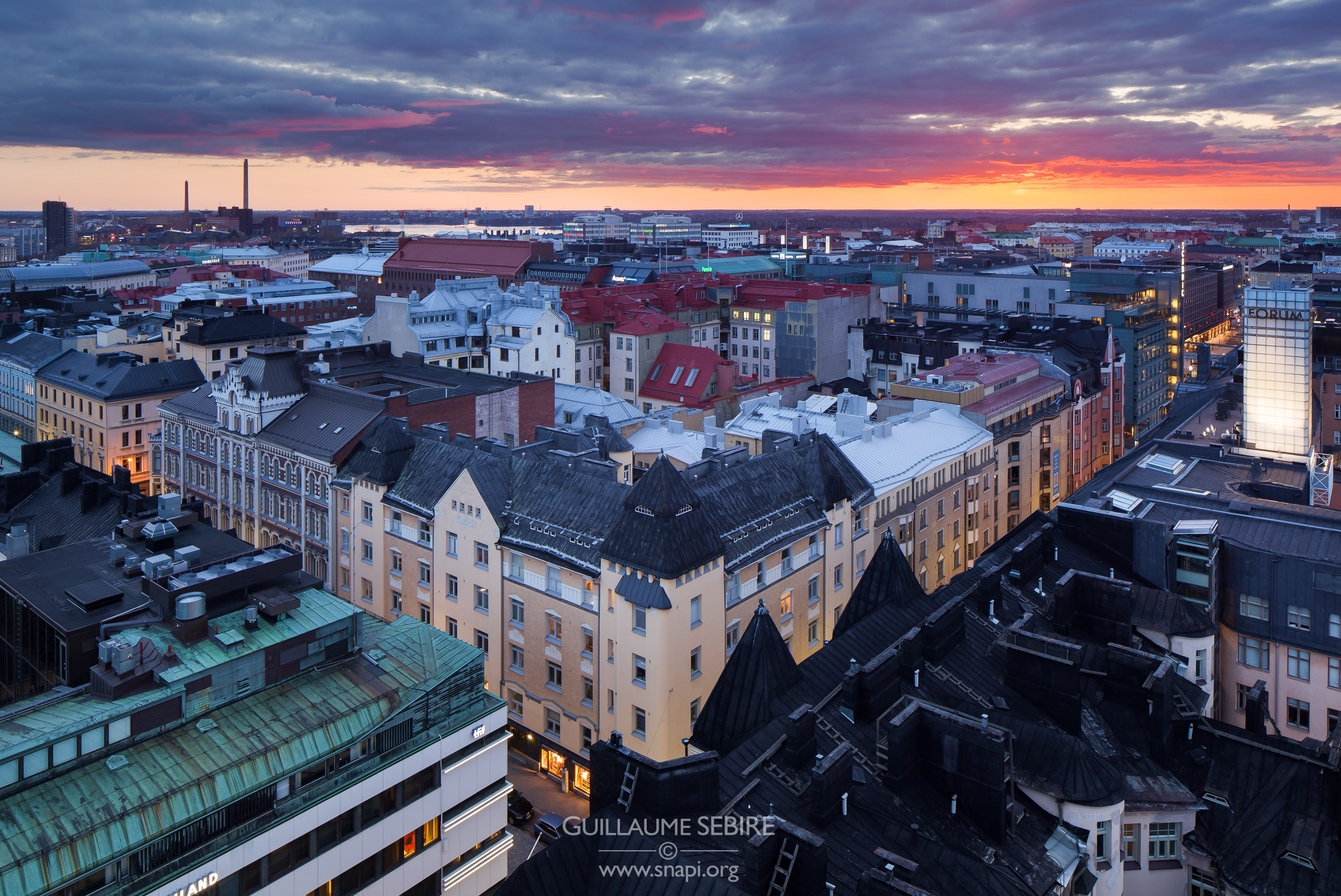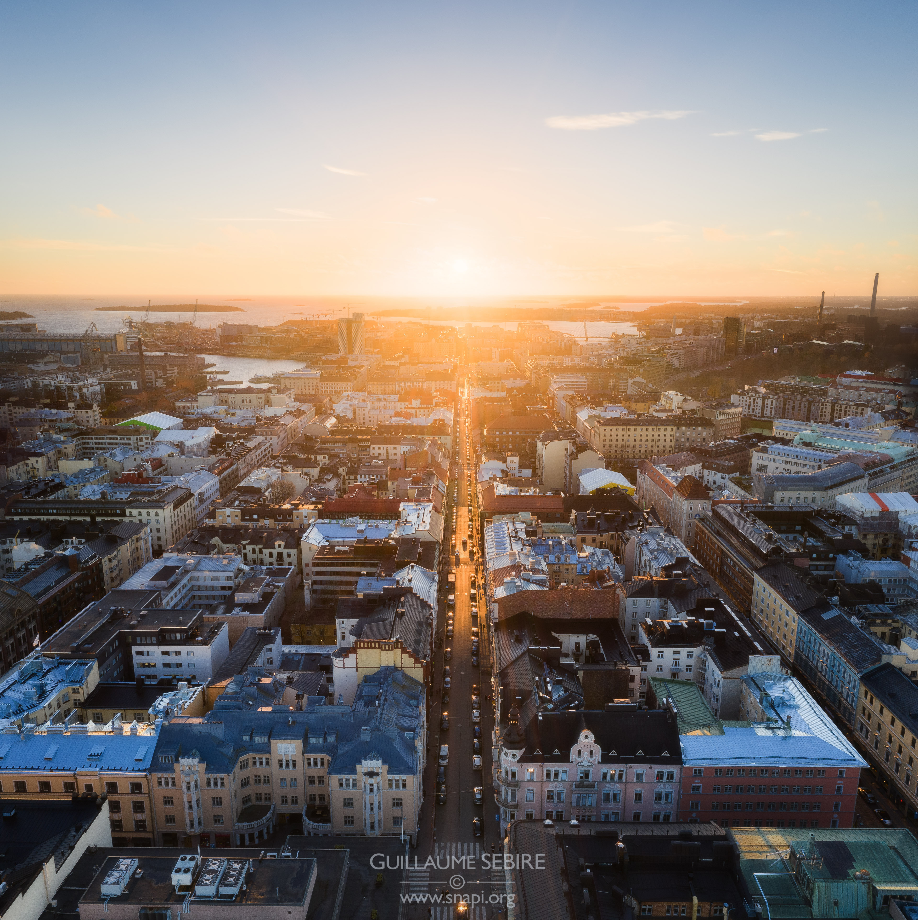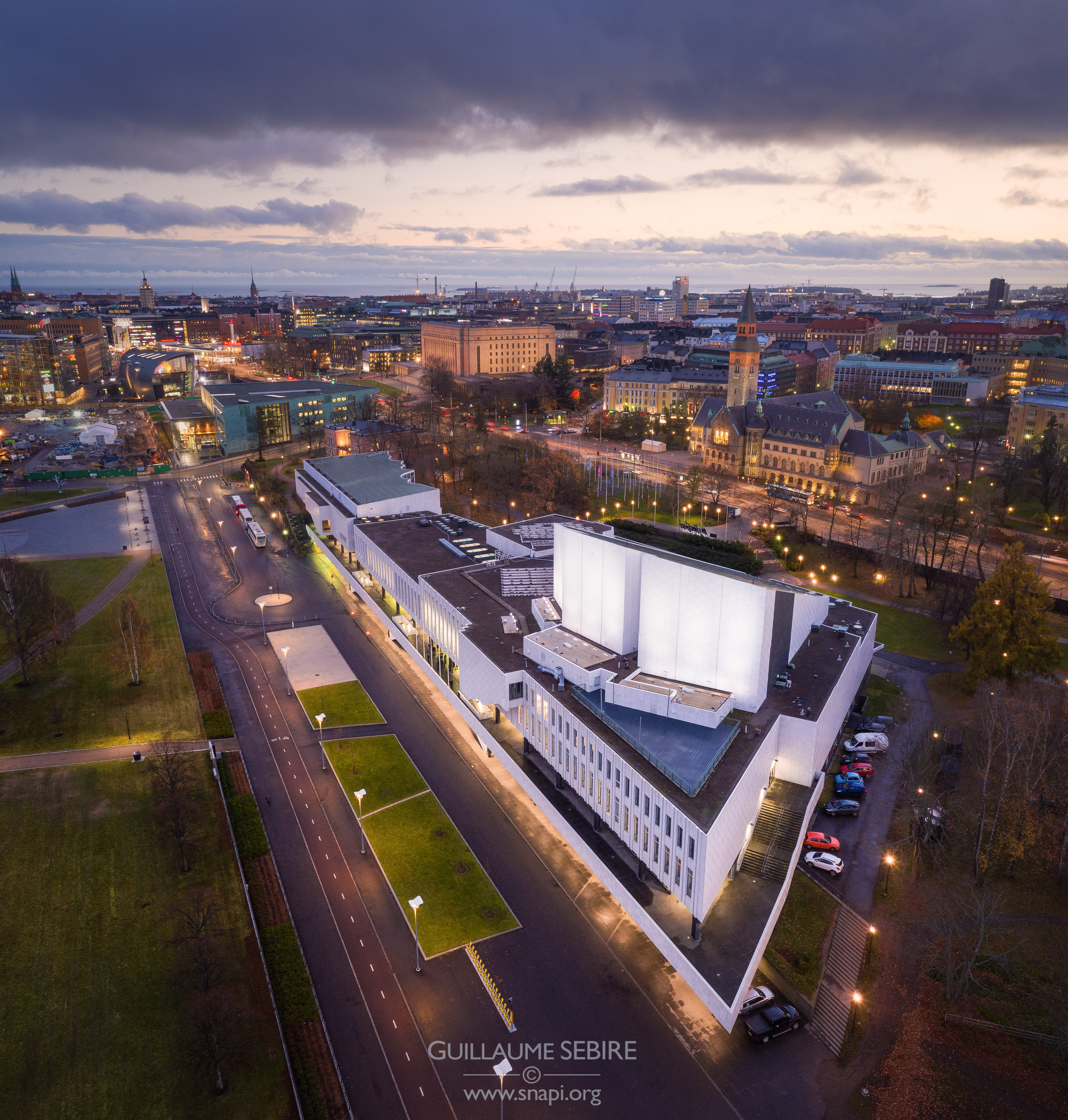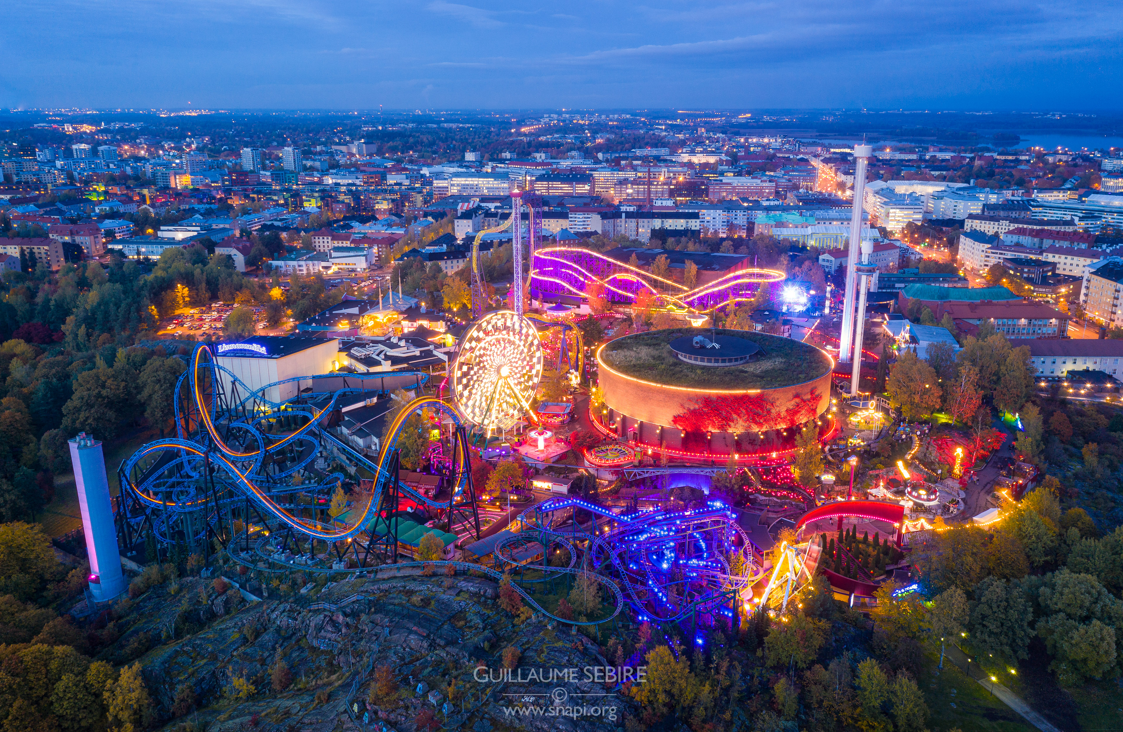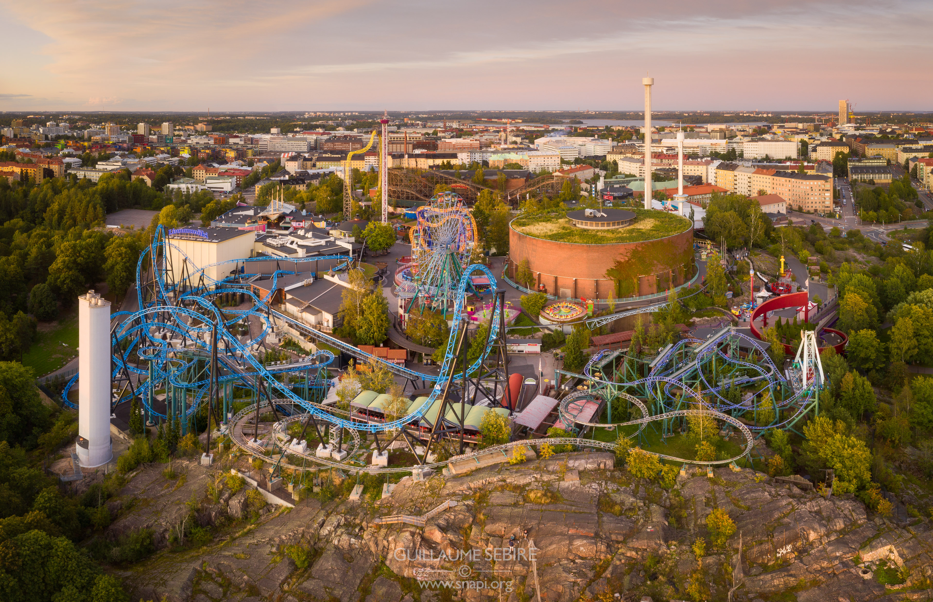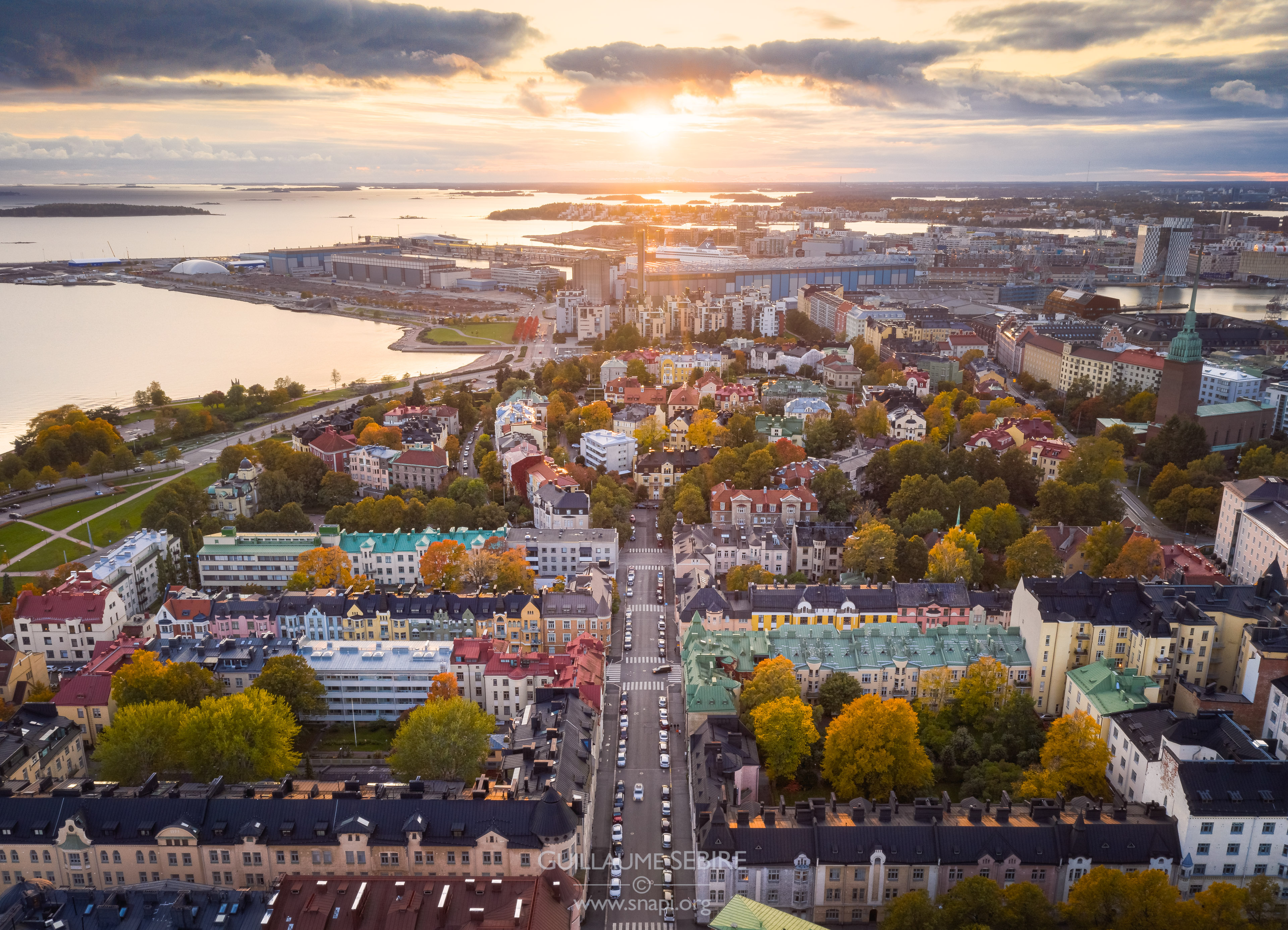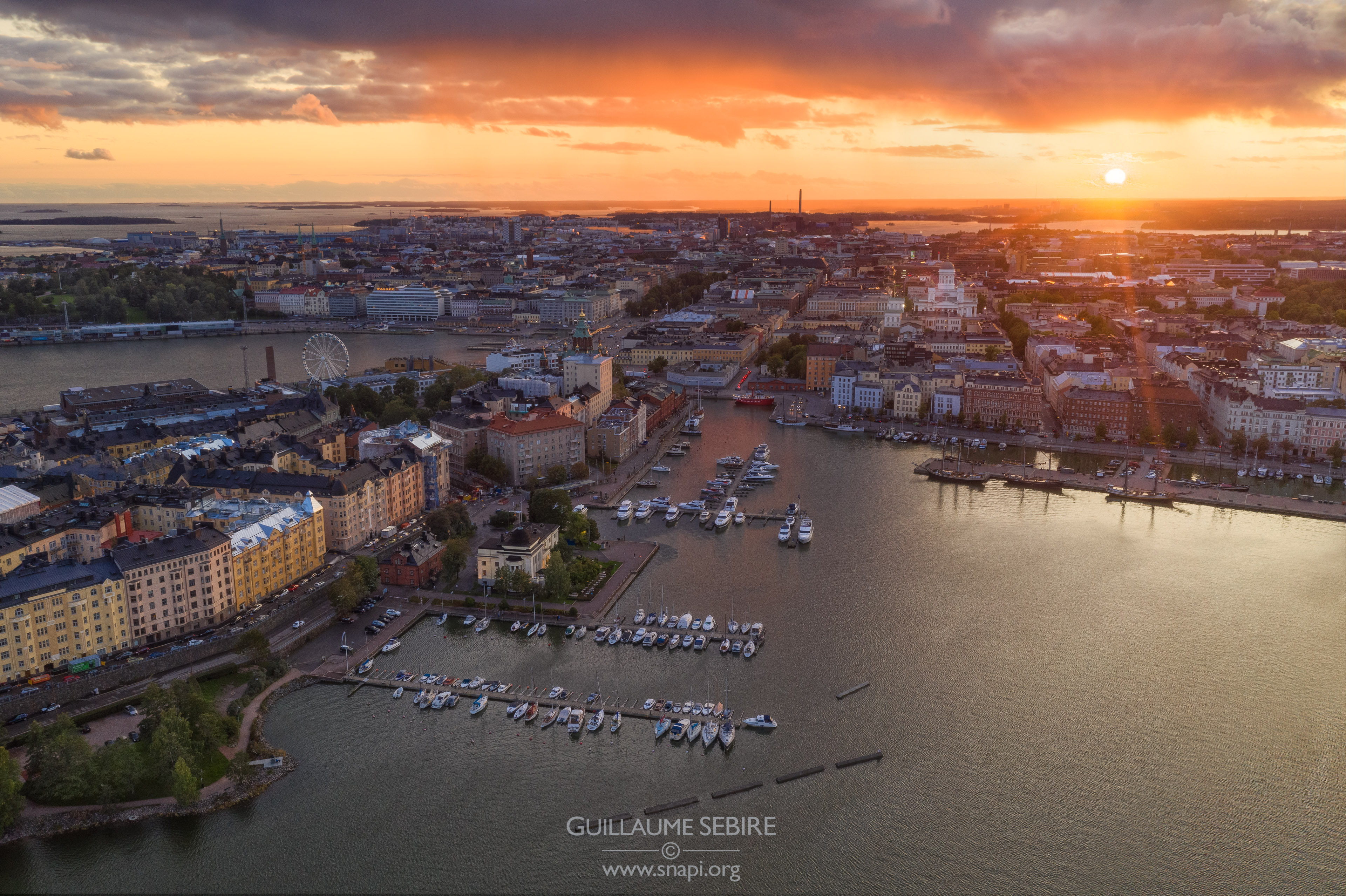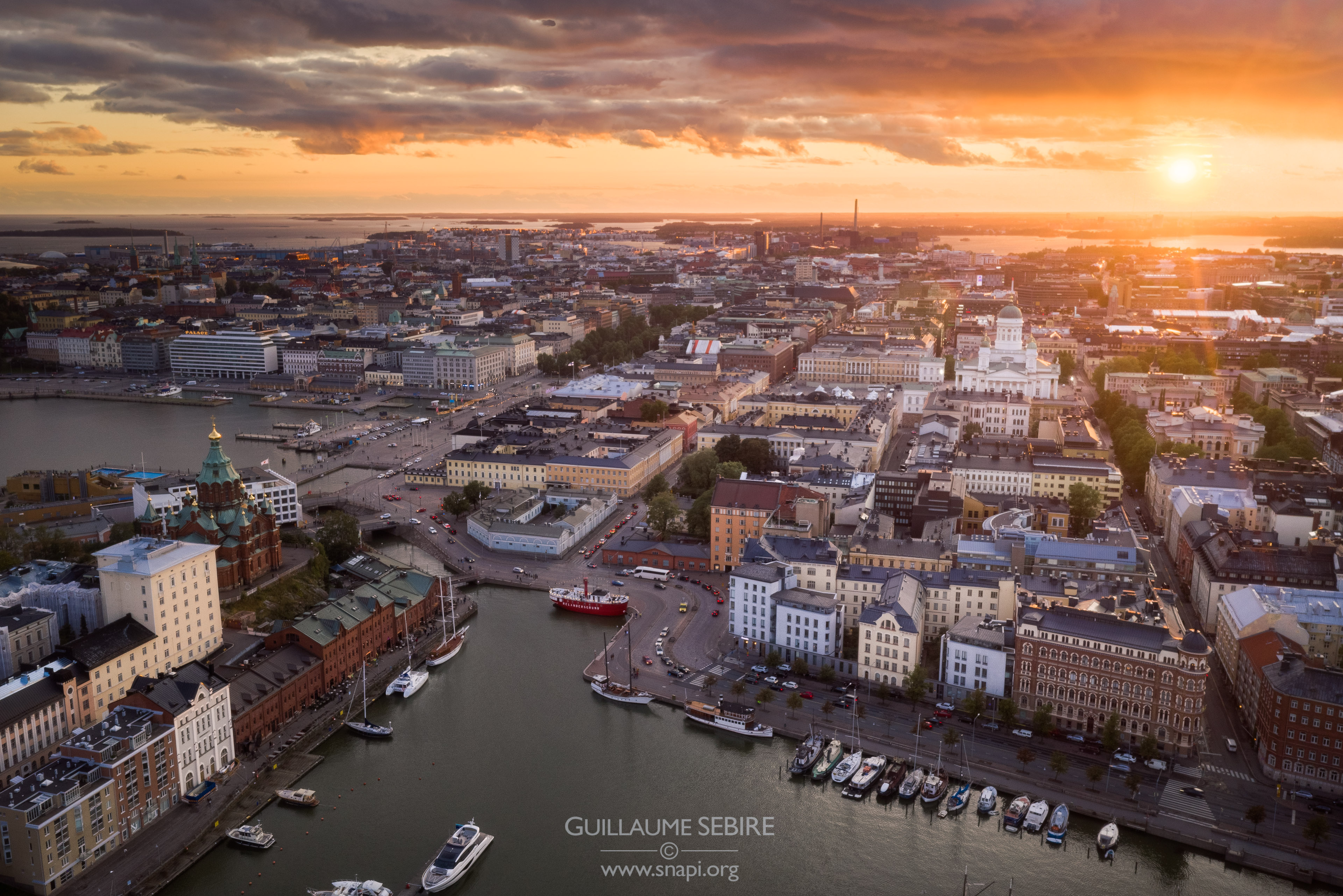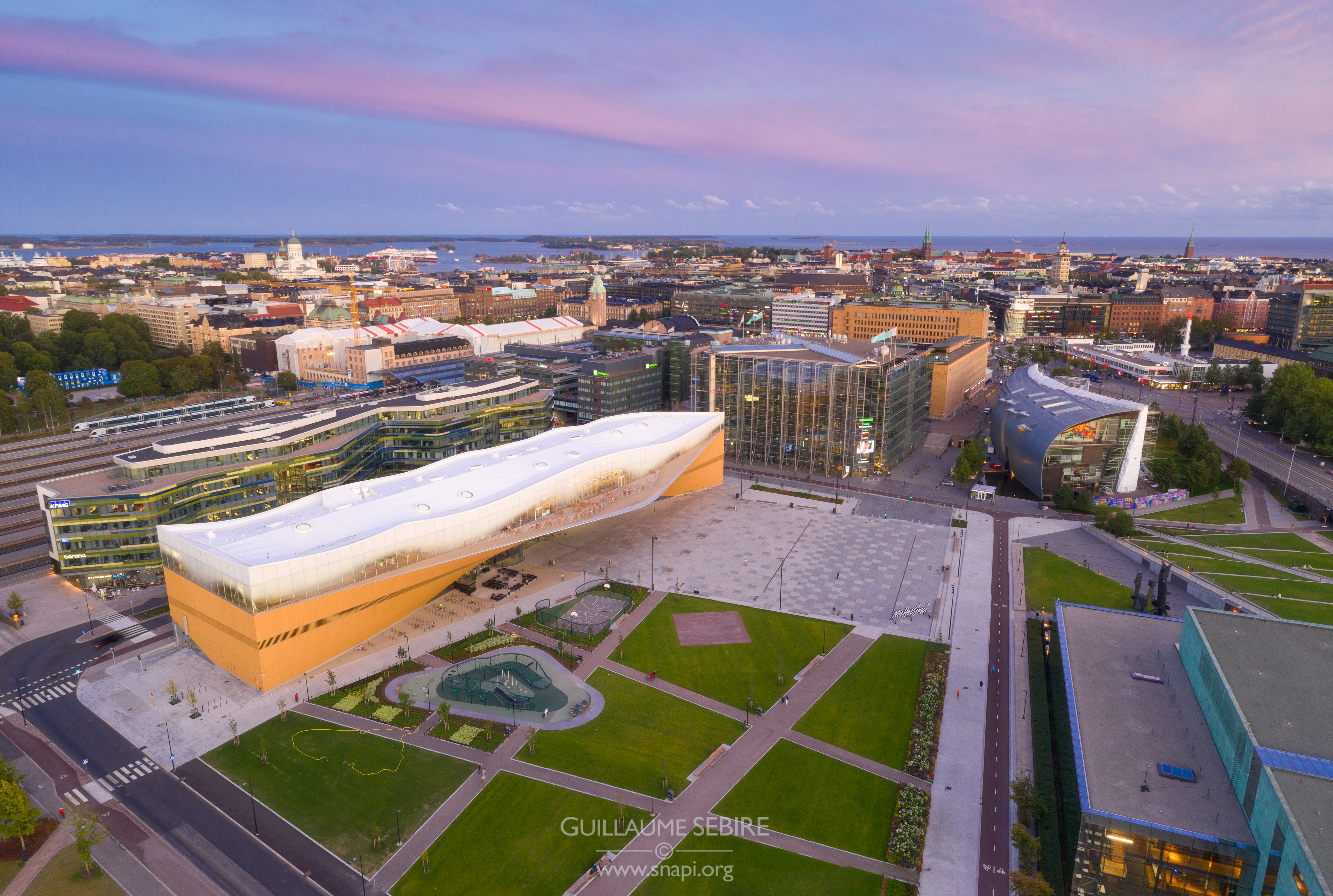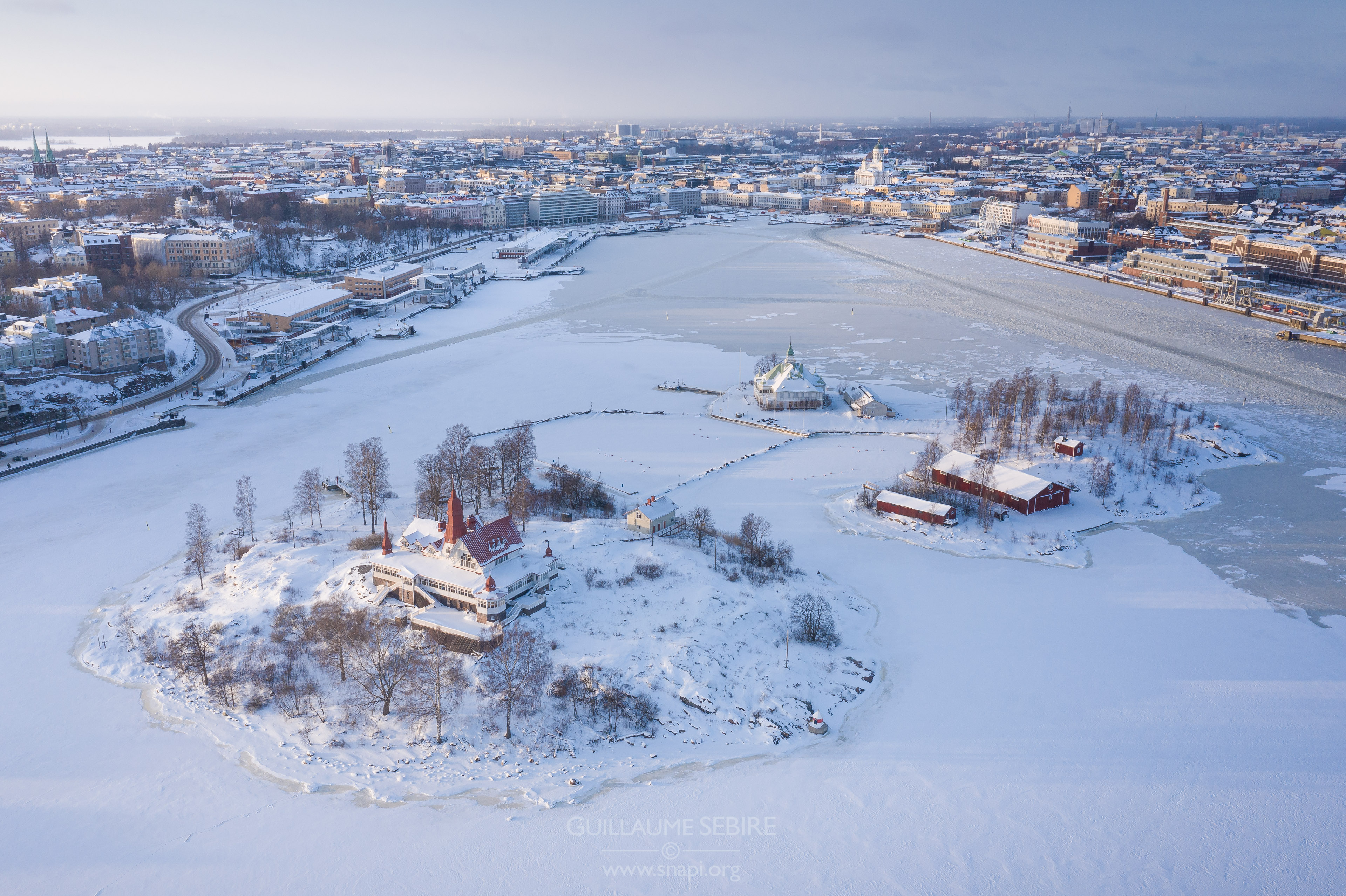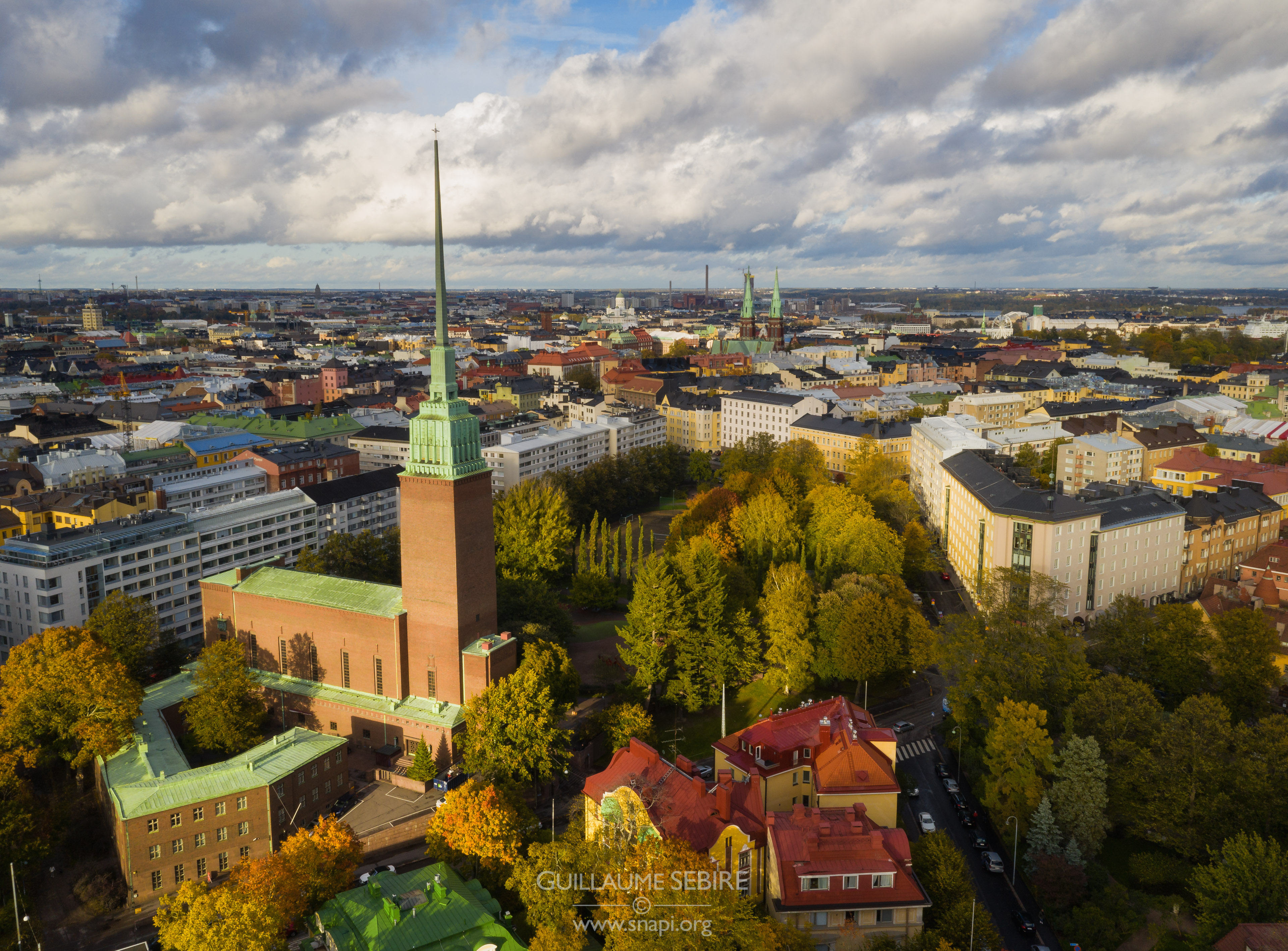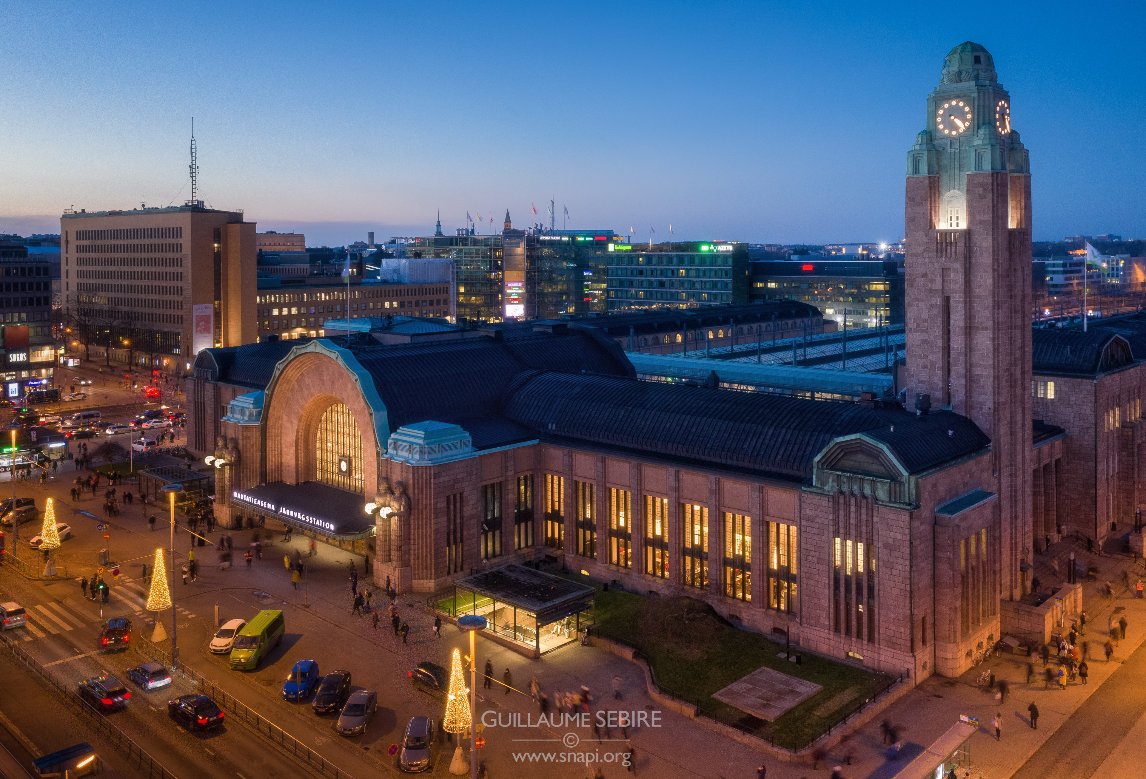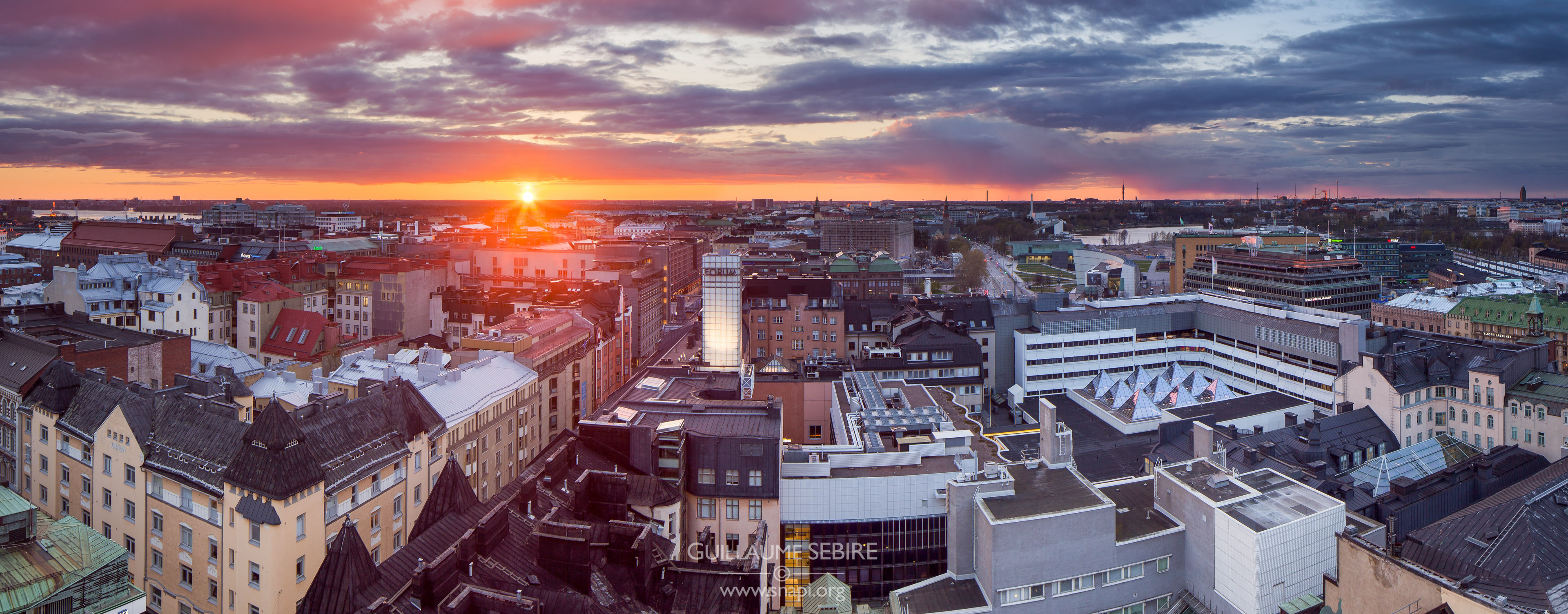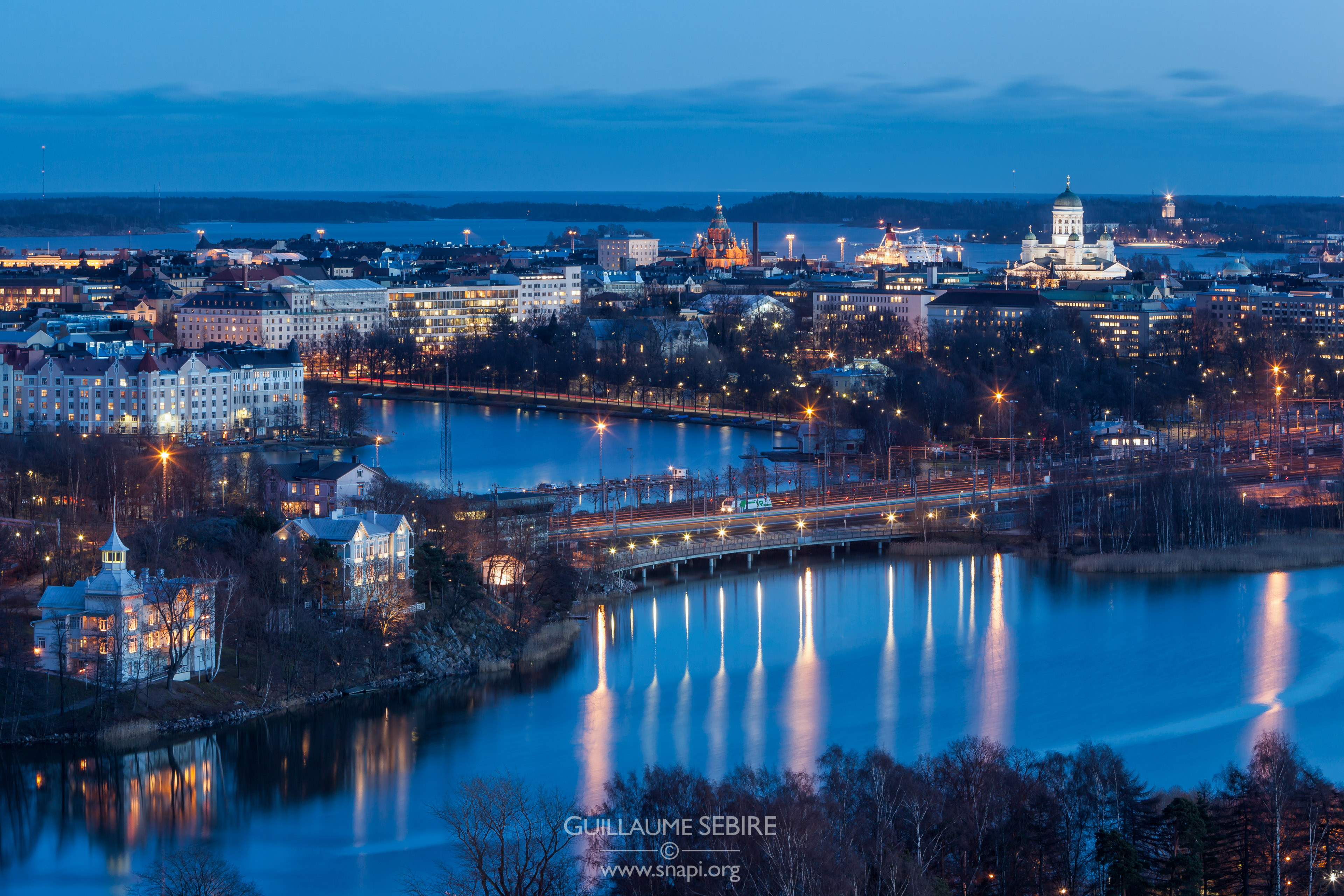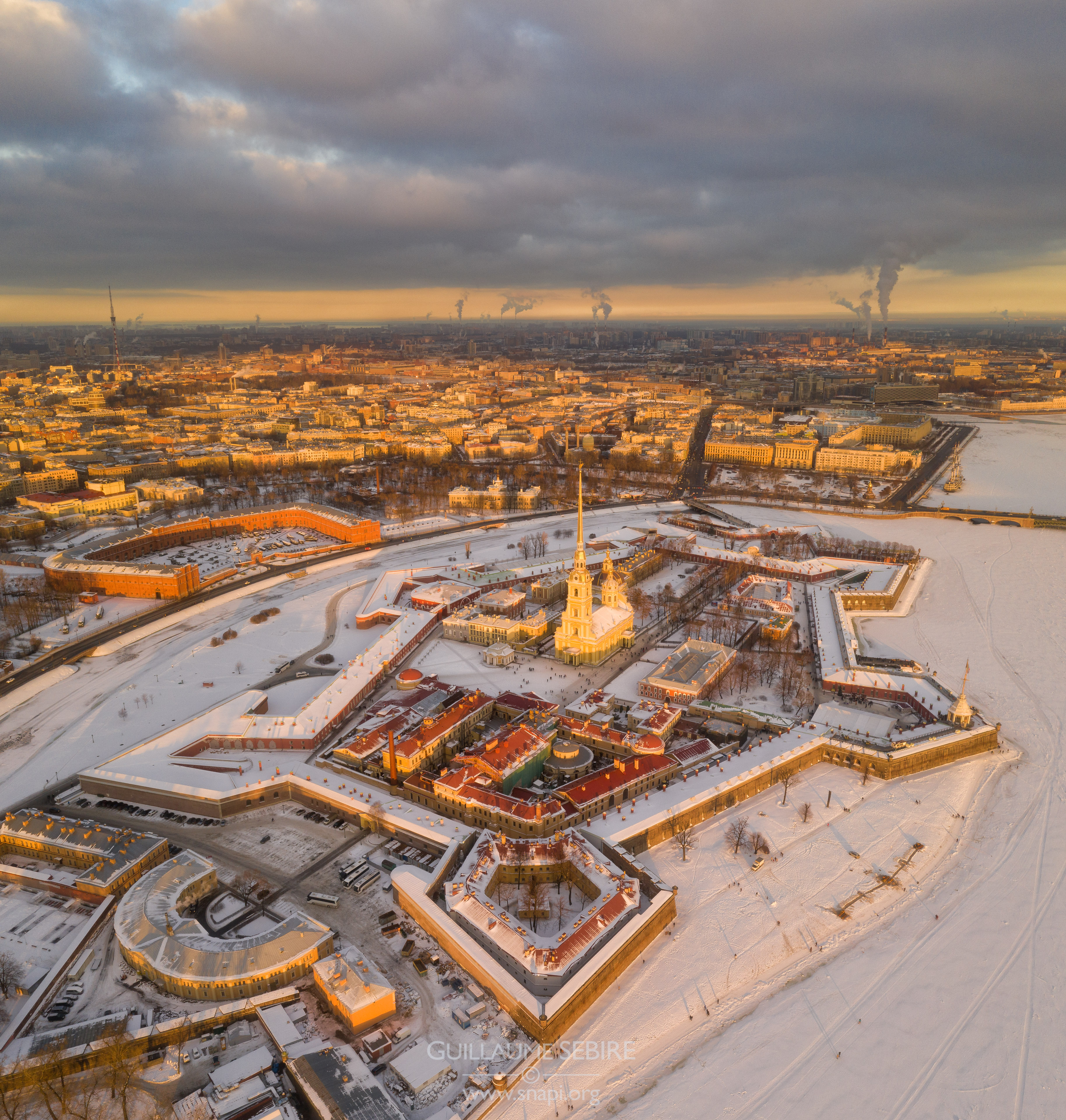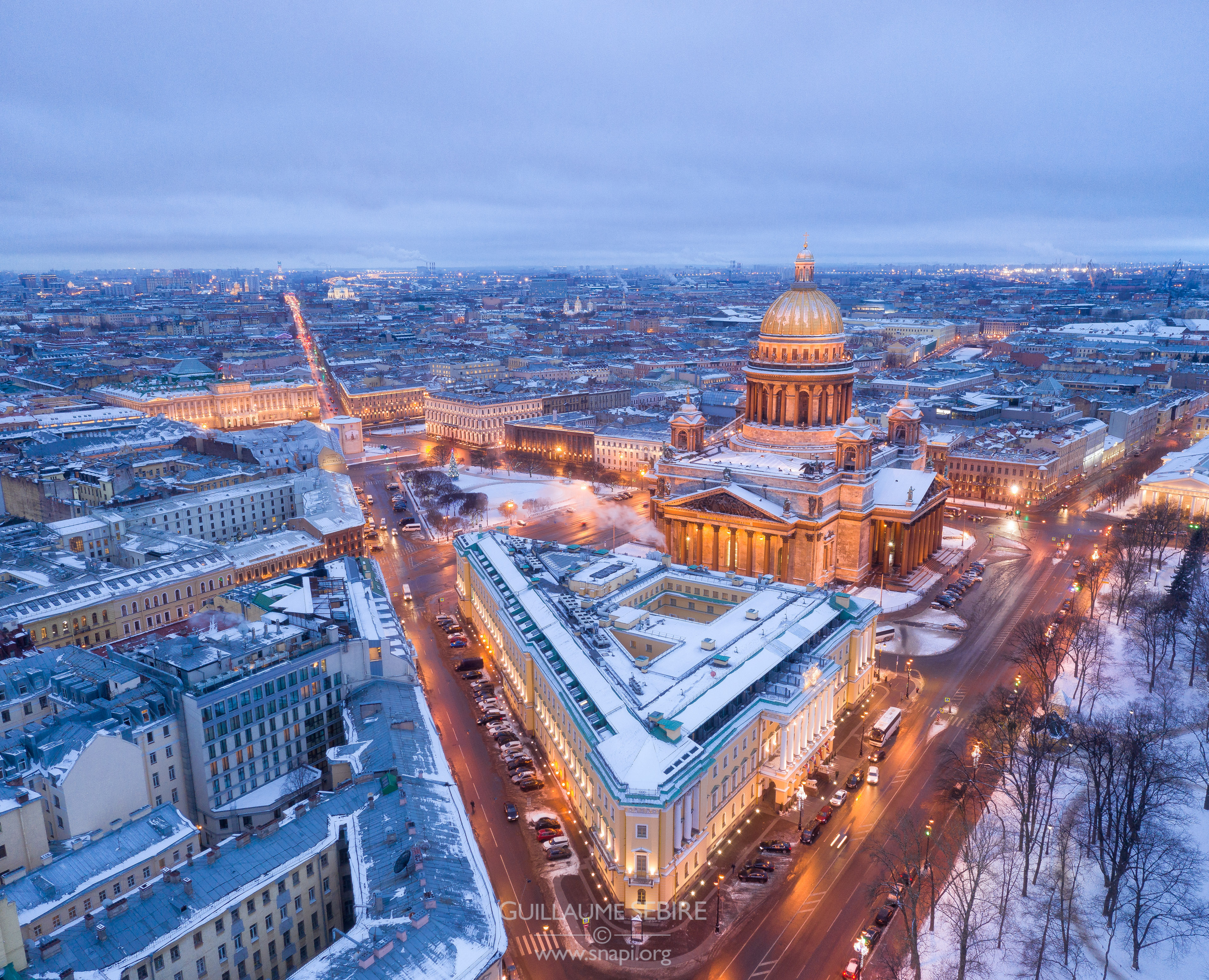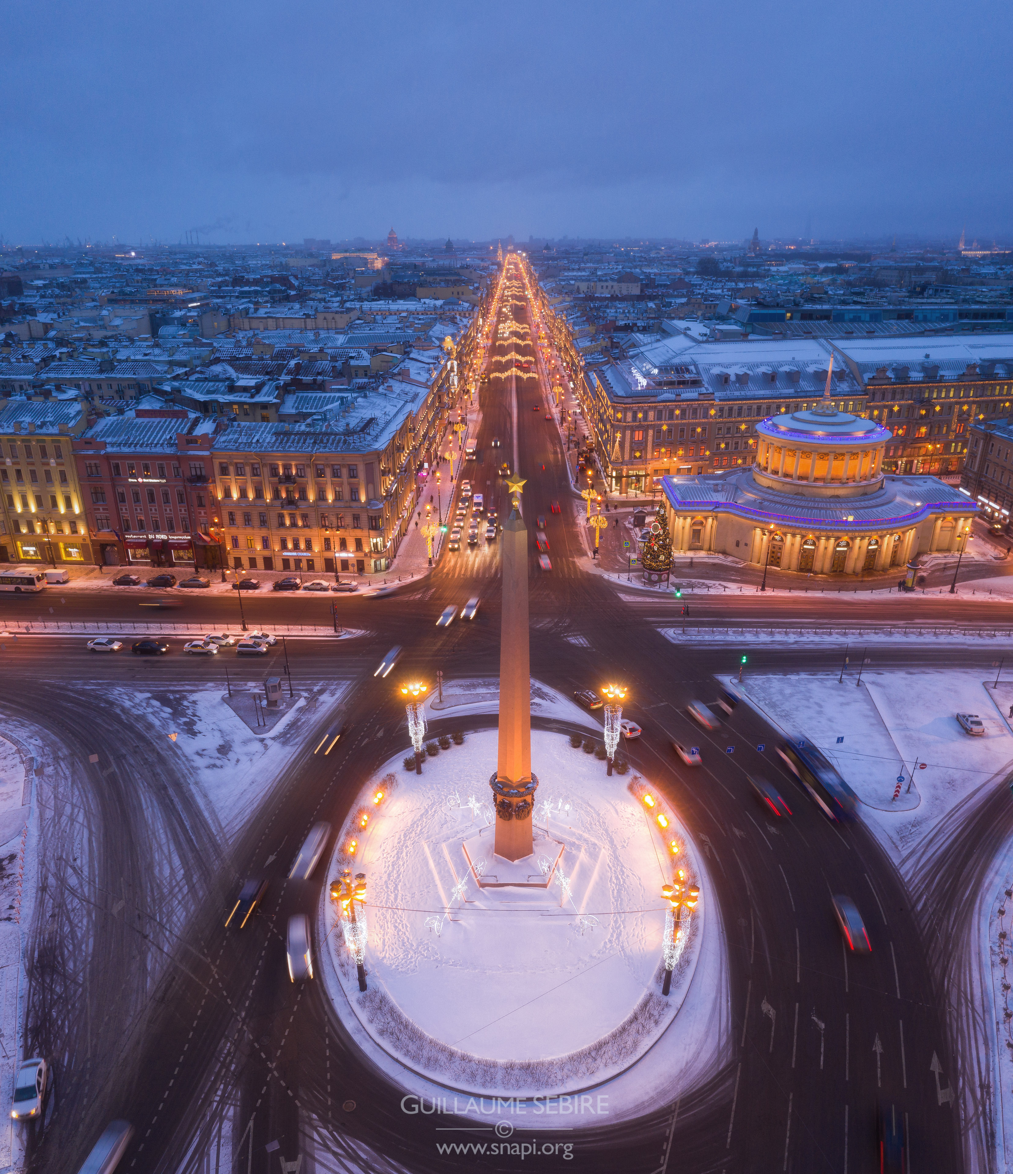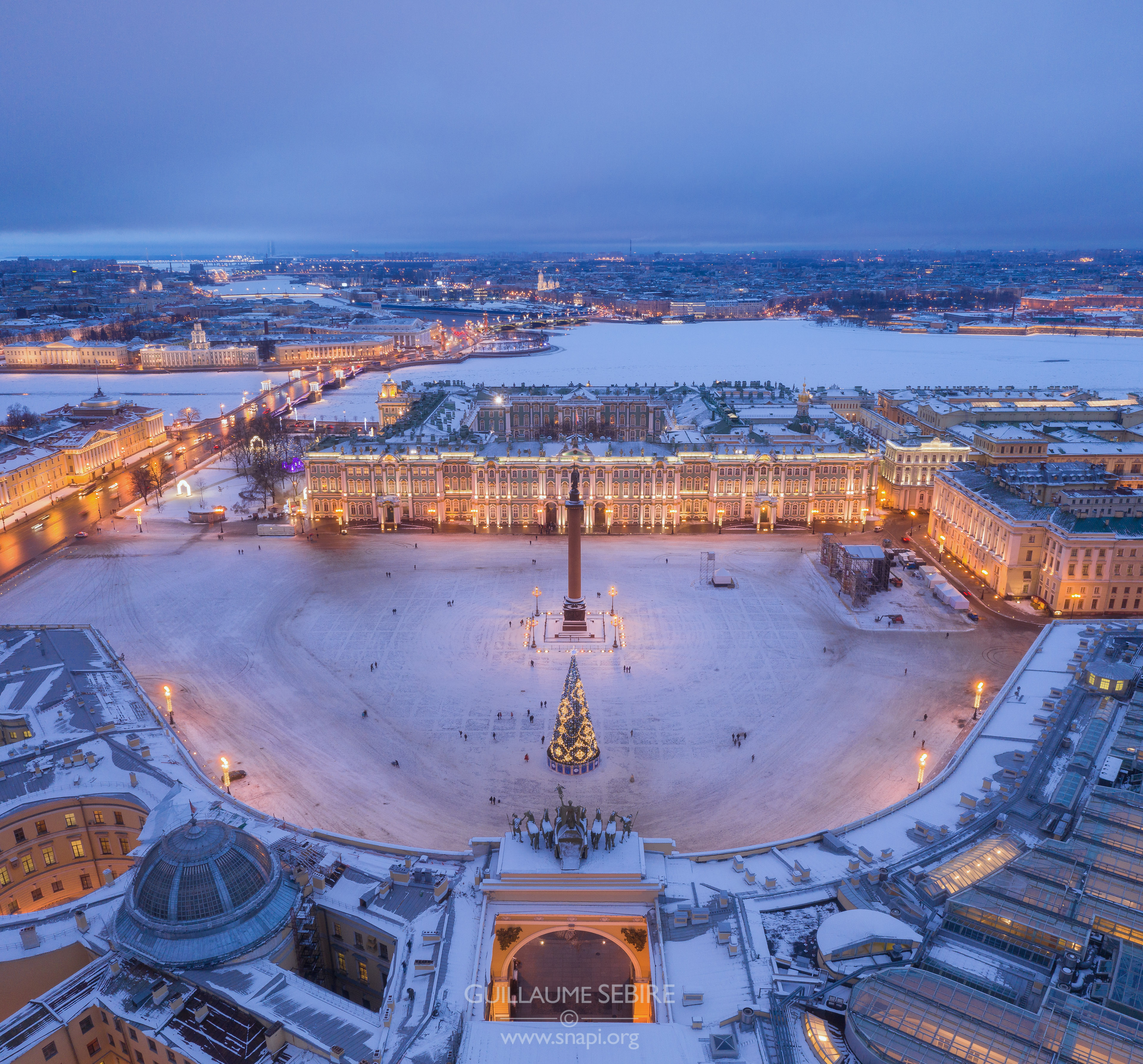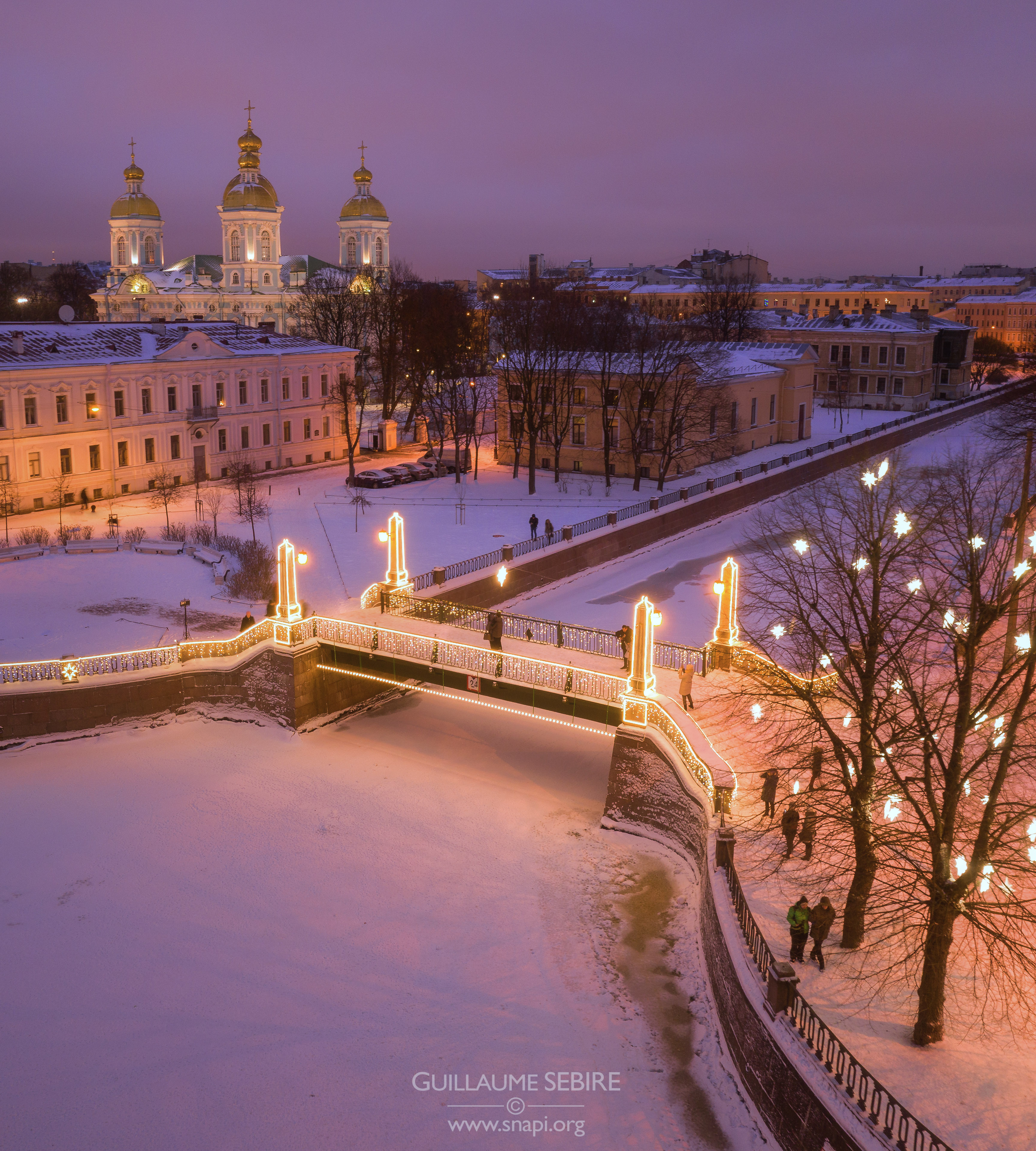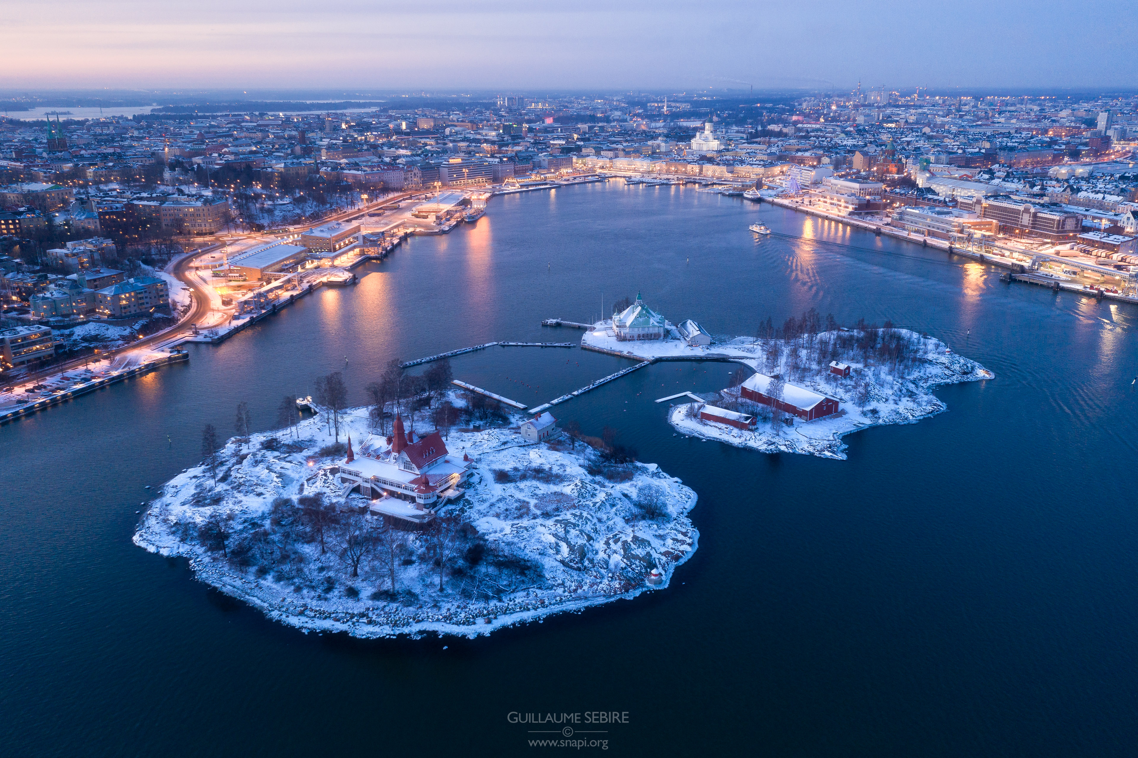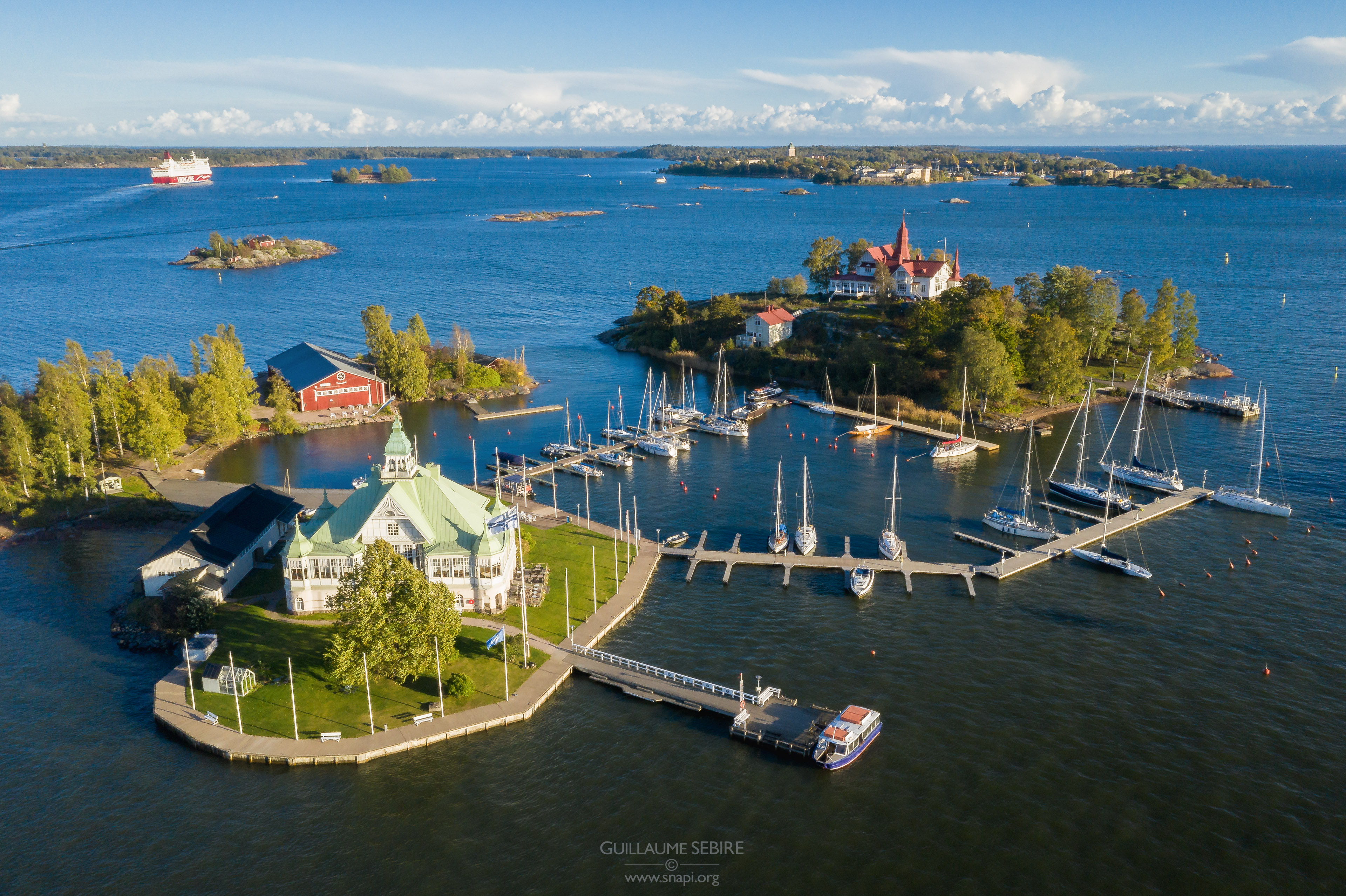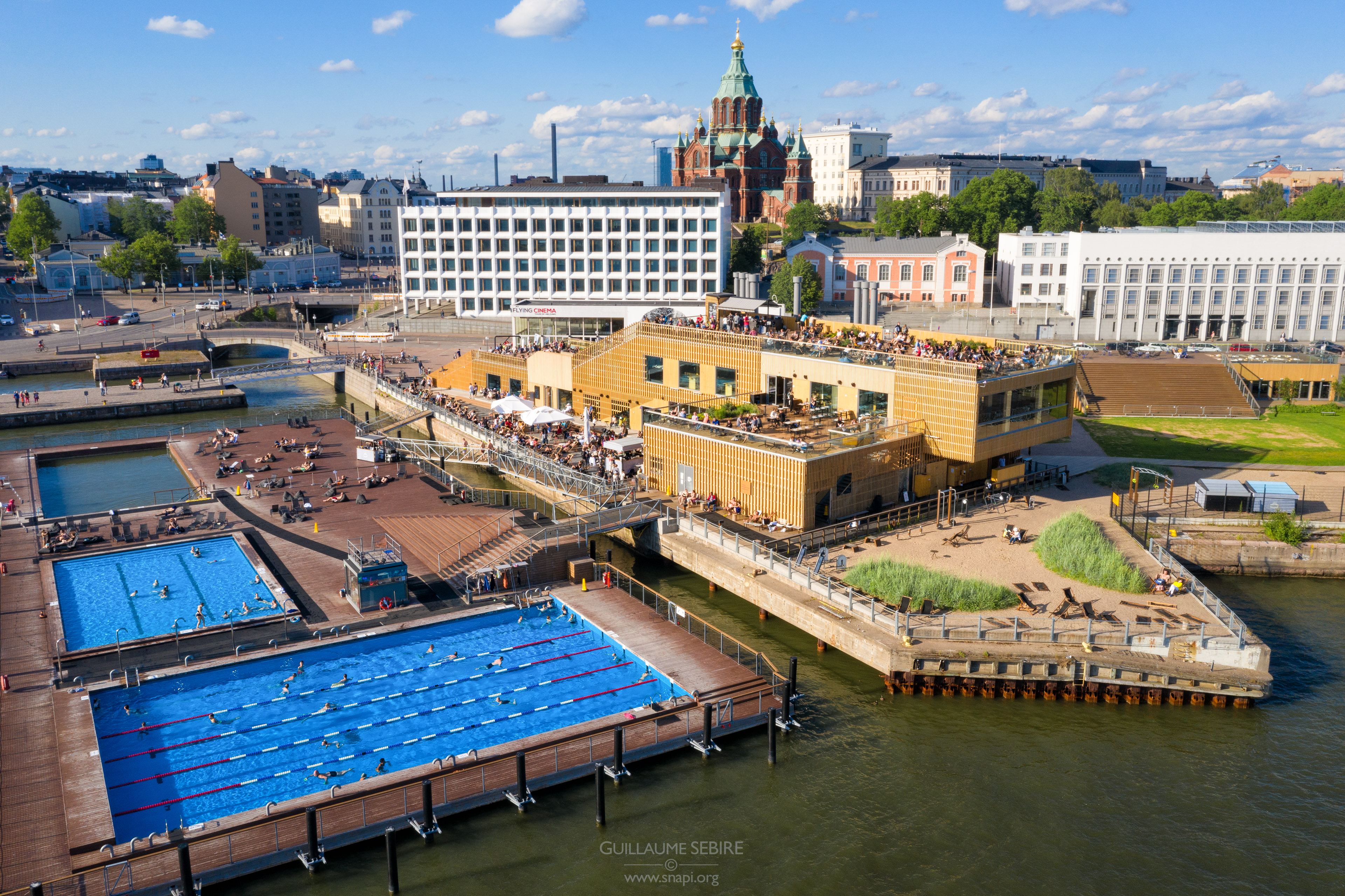


Aerial Cityscapes
Seeing a city from above literally changes one’s perspective. It allows to discover much of its structure and architecture the way they were conceived as opposed to how they were meant to be seen. It makes you better understand a city, and how buildings “interact” with their neighbouring environment. Also, seeing a building from the air makes you truly appreciate the amount of effort (or lack thereof for that matter) put in finely crafting features and details only the builders and architect would normally see. I have collected in this gallery a number of aerial cityscapes taken either with a drone or from an otherwise high vantage point.
Tips: aerial photography requires careful planning – seeing things from above is always nice for it is unusual. But it does not mean all aerial photographs are good. Indeed the same rules apply as on the ground when it comes to light and composition. I use 3D maps (e.g. Google Earth) whenever possible that help me plan beforehand the compositions I want to make. Most importantly, do check and comply to local regulations for flying drones – information is typically easily accessible.